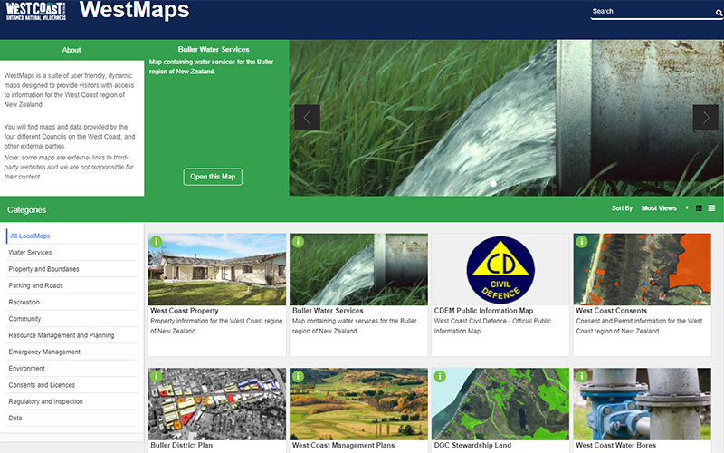
Maps online
Our suite of user-friendly maps is designed to provide fast access to mapping information such as property, environmental, planning and hazards. The maps are designed to be viewed on smartphones or tablets as well as laptops and PCs.
Click here to Browse the LocalMaps gallery
Read the Online Maps Terms of Use
We recommend using Firefox or Google Chrome to view these maps.
Download our data
If you have your own mapping software, you can download our data for free through our download services:
ArcGIS REST Services – for direct API access to our GIS datasets, useable as feature and map services.
Aerial Photography
Our latest aerial photography is freely available to the public through the Land Information New Zealand download service.
Historic aerial photography – Retrolens
Retrolens is a resource for viewing historic aerial photography across our region. It can be used for various purposes such as decision making, complying with regulatory requirements and cultural heritage. Retrolens is a collaboration between a number of councils and central government to preserve and digitise more than 500,000 historic aerial photo negatives, dating back to the 1930s.
The historic images are available for download and released under Creative Commons Attribution 3.0 NZ.


