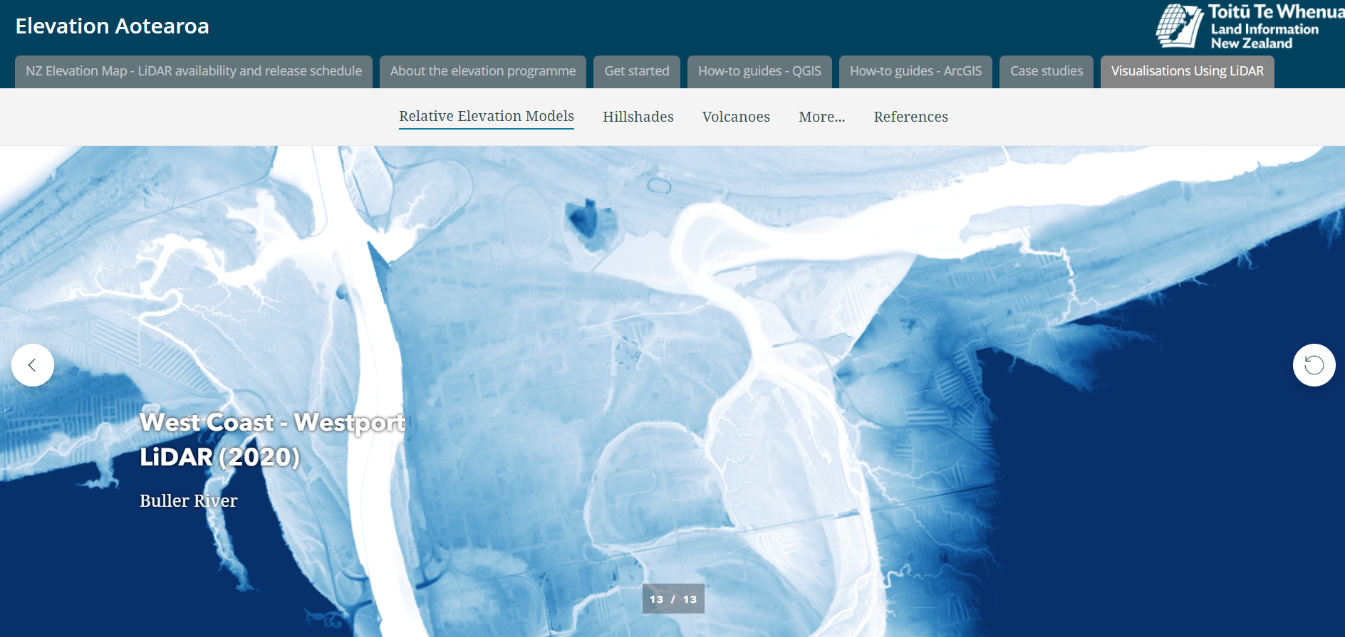
West Coast LiDAR mapping dataset


In October 2018 the Provincial Growth Fund (PGF) LiDAR elevation data capture project commenced. As of December 2022, LiDAR delivered through the project covers over 6,000 km2. This data is accessible through the LINZ Dataset West Coast
What is LiDAR?
LiDAR (light detection and ranging) is a tool that enables us to study large areas of the earth’s surface particularly through trees and vegetation that obscure the surface.
LiDAR technology collects three-dimensional information by sending light pulses towards the ground and measuring the amount of time it takes for the light pulses to return. Billions of these returns are collected as points and used to create detailed models of the earth’s surface. Check out the Youtube video to find out more https://www.youtube.com/watch?v=EYbhNSUnIdU&ab_channel=NEONScience
These models help us to more closely study geomorphology and the topography of the earth. Landslides, floods, glaciers, faults and erosion all leave their mark on the landscape that LiDAR can uncover and visualise.
Some types of LiDAR derived models:
Having LiDAR available is a critical tool for the West Coast, particularly for understanding the hydrology of the region. Flood hazards can be better understood and mapped as LiDAR exposes relic (historical) river channels, flood plains, terraces, and even subtle river features, helping to preserve natural functions of floodplains and assist in developing emergency response procedures.
